- English
- Bahasa Indonesia
Languages:
This site is created using Wikimapia data. Wikimapia is an open-content collaborative map project contributed by volunteers around the world. It contains information about 32659124 places and counting.
Learn more about Wikimapia and cityguides.
Kutho BELUNG
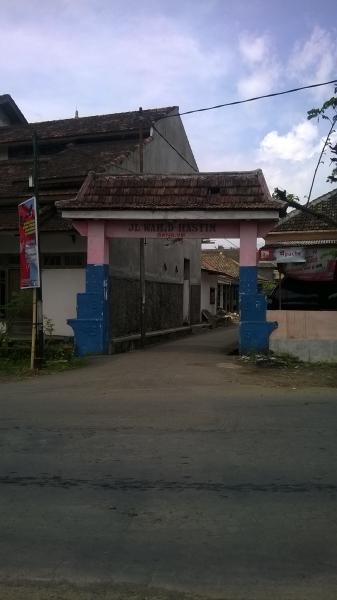
Pintu Gerbang Kecamatan Poncokusumo
Penduduknya agamis, tapi ngefand Jaranan & Bantengan he..he..
Kutho BELUNG on the map.

Recent city comments: